
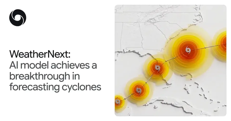
In October 2021, Cyclone Shaheen slammed into Oman's coast and surprised many with its strength. Fourteen years earlier, Gonu (2007) left billions of dollars in damage across Muscat and Sohar. In October 2023, Tej crossed the Arabian Sea toward Yemen and Oman. The coasts of the Arabian Sea and the Gulf of Oman are not on the margins of cyclone season — they sit in its heart. That is why Google DeepMind's August 6, 2026 announcement of a WeatherNext breakthrough in cyclone forecasting carries particular weight, even days after the fact: the Nature-published research documents the first AI model to excel at cyclone track, intensity, and wind structure simultaneously — the trade-off traditional forecasting systems failed to resolve for decades.
This explainer closes the time gap honestly: the event was announced on August 6, 2026, and what follows is the full picture readers search for days later — exactly what happened, the documented numbers, why it matters for the Arabian Sea basin and emerging coastal economies, and how you — researcher, developer, or simply a coastal resident — can use the model today, for free.
The decades-old problem
Tropical-cyclone forecasting rests on two pillars that never merged:
- Track: governed by broad global currents, traditionally predicted with coarse global models (such as ECMWF-ENS) that cover the whole planet.
- Intensity: driven by fine-scale processes inside the storm's core, requiring high-resolution local models (such as HWRF) that burn enormous computing power over small areas.
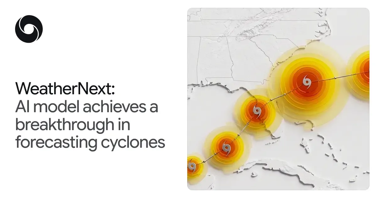
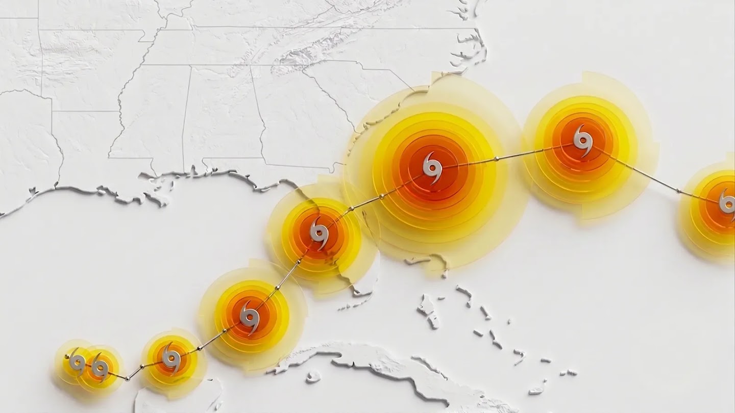
The WeatherNext team at Google DeepMind and Google Research describes how its model bridged this trade-off: a single model handling track and intensity together, achieving state-of-the-art accuracy in both — something traditional physics-equation-based systems have not delivered.
What is WeatherNext?
WeatherNext is a family of AI weather-forecasting systems built on Functional Generative Networks (FGNs) that produce ensemble forecasts — multiple plausible scenarios rather than a single deterministic track. The essentials:
- Speed: a full 15-day forecast completes in under a minute on a single TPU. Compare that with the hours traditional centers need on supercomputers.
- Ensemble scale: the ensemble grew from 50 members in last year's version to 1,000 members — a thousand scenarios to quantify uncertainty, which is the heart of serious cyclone forecasting.
- Training data: nearly 20 TB of atmospheric data, plus the IBTrACS database of nearly 5,000 historical storms.
- Resolution: 28×28 km — 100x coarser than traditional models, yet it beats them on the cyclone metrics that matter. The coarse grid is not a defect; it is evidence the model learned storm "physics" rather than memorizing detail.
Source: Google DeepMind
Source: Google DeepMind
The documented numbers from the Nature paper
The research (s41586-026-10953-2; first listed co-author Ferran Alet) was evaluated on the 2023–2024 cyclone seasons. From the official announcement:
- 3-day track position error: roughly 100 km — beating the reference European ECMWF-ENS system.
- 3-day intensity error: roughly 11 knots — beating HWRF, the hurricane-specialized system.
- Wind structure: state-of-the-art accuracy in the wind field around the storm — what determines actual danger zones, not just the storm's center.
- Early-warning gain: more than a full day (24 hours) of lead-time advantage — today's 3-day forecast matches what previous models achieved at 2 days. In the team's words, the equivalent of a decade of progress in meteorological terms.
For human context: the announcement notes tropical cyclones caused more than 700,000 deaths and over $1.4 trillion in losses over the past 50 years. Every additional hour of warning saves lives and reduces the cost of imprecise evacuations.
Trial by fire: Hurricane Melissa, 2025
The strongest practical proof came last season. The team collaborated with the US National Hurricane Center (NHC), CIRA, and the UK Met Office. During the 2025 season, the model helped the NHC predict Hurricane Melissa's rapid intensification and its Jamaica landfall in advance, enabling an earlier warning. This was not a lab exercise but operational use in the most dangerous class of weather events.
How the model works under the hood
To understand why this model is different, a quick look at its mechanics helps. Traditional systems solve the fluid-dynamics equations of the atmosphere step by step on a 3D grid covering the planet — a process that consumes some of the largest computers on Earth. WeatherNext instead uses Functional Generative Networks (FGNs): the model learned from twenty terabytes of historical reanalysis data "what tomorrow looks like given today," directly, without explicitly solving the equations.
The practical consequences of that difference are twofold:
- Cost: a full day of forecasts takes one minute on a single TPU instead of hours on a supercomputer. That alone rewrites the economics of running a forecasting service — especially for developing-world met services that never owned a supercomputer.
- Scenarios: cheap runs are what made the 1,000-member ensemble possible. In the cyclone world, a single deterministic track is genuinely dangerous; a thousand scenarios give you a probability distribution that says "30% chance the storm passes within 100 km of Salalah" — which is the essence of an evacuation decision.
And the subtler achievement: despite its coarse 28-km grid, the model wins on wind structure — the shape of the wind field around the storm — because it learned from 5,000 historical IBTrACS storms the growth and decay patterns that connect a storm's environment to its behavior.
From GraphCast to WeatherNext: the roadmap that led here
This breakthrough is not an isolated jump. Google's public AI-weather path began with GraphCast (deterministic global forecasting), continued with GenCast (the ensemble version), reached WeatherNext 2, and now culminates in this Nature-documented specialized cyclone model. Each generation inherited the idea that neural networks can learn atmospheric state from data, and added a layer of specialization. The message for anyone building regional forecasting capacity: the entire stack — global model, cyclone model, mini version — is open source today, and it is a coherent system, not scattered parts.
How to actually get started: a quick guide
- To watch: open the Weather Lab tool inside Google Earth AI and browse the live ensemble forecast maps.
- To experiment: clone the google-deepmind/weathernext repository on GitHub and start with the free Colab notebook for WeatherNext 2-mini, which runs on a single TPU.
- To evaluate: download the historical IBTrACS records for Arabian Sea cyclones (Gonu, Shaheen, Tej...), measure the model's track and intensity errors on those events, and compare against ECMWF outputs for the same storms.
- For met services: run the model as a "support model" alongside your operational systems for a full season before making any adoption decision — then judge the added value on your own basin.
What does this mean for the Arabian Sea and the wider region?
In a step as important as the results, the team released code and weights on GitHub (the google-deepmind/weathernext repository), covering:
- WeatherNext 2: the global weather model.
- WeatherNext Cyclones: the cyclone model at the center of this announcement.
- WeatherNext 2-mini: a coarser version (111×111 km resolution) that runs on a single TPU via a free Colab notebook.
Anyone can follow the maps through the refreshed Weather Lab tool, part of Google Earth AI. For met services and universities worldwide, the translation is simple: no need to build a model from scratch or negotiate a license — it is available for study, evaluation, and customization right now.
What does this mean for the Arabian Sea and the wider region?
- The Arabian Sea is a live cyclone corridor: Gonu (2007), Luban and Mekunu (2018), Shaheen (2021), and Tej (2023) all struck or threatened Oman, Yemen, Iran, and East African coasts. Tens of kilometers of track improvement translate directly into sharper evacuation decisions for Muscat, Salalah, and Al Mahrah.
- A sovereignty opportunity for regional met services: Oman's meteorology authority, Saudi and Gulf met centers, and their peers can evaluate WeatherNext Cyclones against the region's historical storms (IBTrACS includes them) and measure its local value — at zero licensing cost.
- Arab academic research: universities in the region now have a current, open, Nature-grade model for regional climate and cyclone studies, instead of relying on outputs of closed systems.
- Insurance and risk management: Gulf insurers build hazard models on cyclone data; the 1,000-member ensembles provide a far richer probability distribution for pricing coastal risk in Oman and the UAE.
- Critical infrastructure: Sohar and Muscat international airports, the ports of Duqm, Sohar, and Salalah, and Arabian Sea shipping lanes all benefit from warnings extended by up to a full day.
Quick comparison
| Criterion | WeatherNext Cyclones | ECMWF-ENS (traditional global) | HWRF (traditional specialized) |
|---|---|---|---|
| 3-day track error | ~100 km (best) | Comparison baseline | Weaker on track |
| 3-day intensity error | ~11 kt (best) | Weaker on intensity | Comparison baseline |
| 15-day forecast time | Under a minute on a TPU | Hours on supercomputers | Not run globally |
| Track + intensity together | Yes | Trade-off | Trade-off |
| Openness | Code + weights + free Colab | Licensed outputs | Limited outputs |
Honest limitations
- Not a replacement for official warnings: the announcement itself stresses that official warnings come from "your local meteorological agency or national weather service" — WeatherNext is decision support, not an official alert source.
- Coarse resolution: 28 km does not dissect the storm core the way high-resolution local models do; the documented advantage holds on aggregate metrics (track/intensity/wind structure), not necessarily in every individual case.
- Evaluated on 2023–2024: two seasons of evidence; regional Arabian Sea performance needs independent local evaluation before operational reliance.
- No official API announced: access is via GitHub and Weather Lab, not a production paid serving tier.
The bigger picture: AI is rewriting the economics of meteorology
The WeatherNext story is part of a larger shift that regional decision-makers should understand. For decades, global weather forecasting was effectively a monopoly of a handful of centers owning supercomputers — ECMWF in Europe, NOAA in the US, and a few peers. Trainable generative models broke that monopoly at its root: the model is trained once at great cost, but running it afterwards is so cheap that one minute and one TPU suffice.
The implication for the region is direct: for the first time, an Arab country — without a supercomputer or contracts with global centers — can operate a 15-day forecasting system with thousand-member ensembles, on infrastructure that costs no more than a cloud subscription. The remaining gap is no longer a computing gap; it is a talent gap. Whoever builds a team that understands these models and adapts them to the region first will hold a sovereign forecasting tool ahead of their neighbors.
And because cyclones ignore borders, the natural path is regional: an Omani-Yemeni-Saudi effort to evaluate and operate the model over the Arabian Sea basin could produce a sharper regional warning capability than any solo attempt — the code is ready, the historical data (IBTrACS) is public, and cost is no longer an excuse.
FAQ
What exactly is WeatherNext Cyclones?
An AI model from Google DeepMind and Google Research that predicts tropical-cyclone track, intensity, and wind structure at record accuracy, documented in a Nature paper published in August 2026.
Can I use the model for free?
Yes. Code and weights are on GitHub in the google-deepmind/weathernext repository, and a WeatherNext 2-mini version runs on a single TPU via a free Colab notebook.
How much early-warning time did it add?
More than 24 full hours: today's 3-day forecast matches what previous models achieved at 2 days — the equivalent of a decade of progress in meteorology.
Does it forecast Arabian Sea and Gulf cyclones?
The model is global and covers tropical cyclones in all basins, including the Arabian Sea — a promising evaluation area for met services in Oman, Yemen, and Saudi Arabia.
Does it replace official met services?
No. The official post itself states that official warnings remain the responsibility of national weather services; the model is a support tool for them.
Bottom line
While the world races over chat and coding models, the WeatherNext team at DeepMind delivered the kind of breakthrough measured in lives: an extra day of cyclone warning. For a region living beside an active cyclone corridor, the good news is that the technology is not behind closed doors — it is on GitHub, waiting to be evaluated against Gonu, Shaheen, and Tej, and built into a sharper regional warning system.
Sources
- Google DeepMind's official WeatherNext cyclone announcement
- The official GitHub repository
- The related Nature paper (s41586-026-10953-2)
- AI tools on Truescho
Read next: Gemini 3.7 Flash by Google: the coding and agent model and Google's AMIE: AI video medical consultations